Three ways to read the water
Maps for the lake.
Use the boating map when you are on Winona Lake, and the watershed map to see where its water comes from. The lake reaches 79 feet at its deepest point and averages about 30 feet. The depth map shows every 10-foot contour, and the boating map shows where the deep water overlaps the idle-speed zone.
Choose your map
What do you need to know?
The three maps answer different questions. Start with the depth map for the contours, or the boating map for the 200-foot line. For the story behind the contours, read the depth map, explained.
 Depth · Contours · Fishing
Contours every ten feet
All 13 depth rings from the 2017 IDNR survey on an interactive map: the bands stepping down to the 79-foot hole, the two mid-lake shoals, and the drop-offs where the fish hold.
Open the depth map →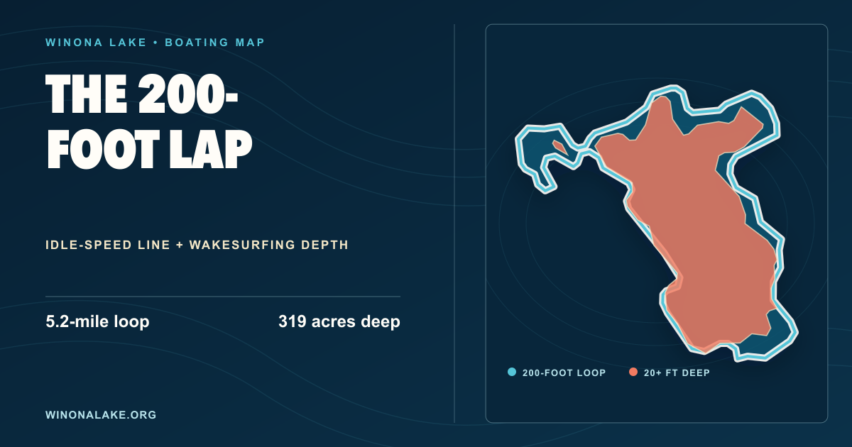 Boating · Wakesurfing · Depth
200 feet from shore
See the idle-speed boundary, the 5.2-mile lap, and the area of Winona Lake that is at least 20 feet deep.
Open the boating map →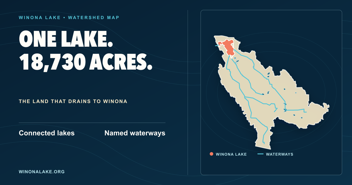 Watershed · Streams · Connected lakes
Where the water comes from
Follow the watershed boundary, connected lakes, streams, named ditches, and Winona Lake’s outlet.
Open the watershed map →